


Electrical Resistivity Tomography (ERT) reconstructs the distribution of resistivity along a subsurface section. The system injects current through an electrode array, measures potential differences and applies inversion to generate 2D models.
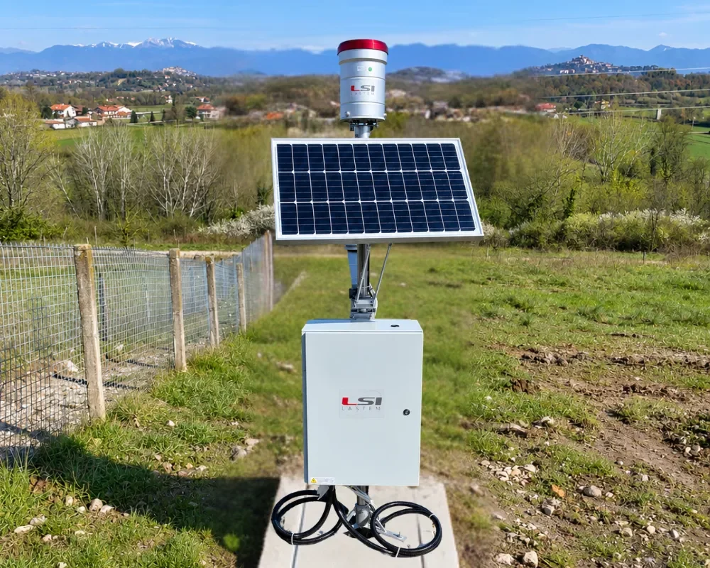
The G.Re.T.A. system is permanently installed and performs automatic surveys. Comparing successive sections highlights changes in subsurface processes. Time-lapse monitoring can be integrated with piezometers, geotechnical sensors, inspections and periodic surveys.
Resistivity varies with water content and other soil properties; changes over time therefore indicate that one or more of these properties have changed.
On dams, levees and earth embankments, permanent ERT monitoring tracks seepage, preferential water pathways and saturation processes. Comparing 2D sections over time makes it possible to follow these processes before they become a risk to structural stability.
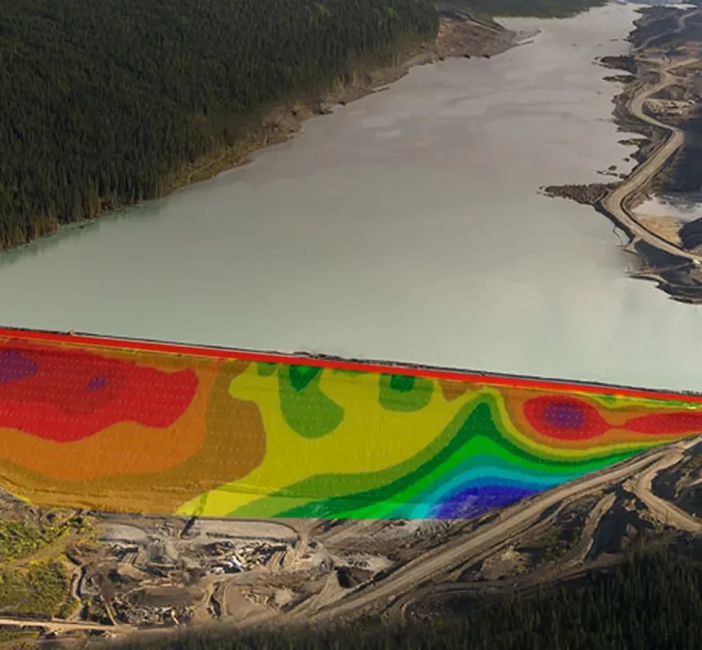
In mines and Tailings Storage Facilities, time-lapse resistivity measurements can identify concentrated seepage, under-seepage and changes in groundwater level. These processes are closely related to the structural stability of tailings dams.
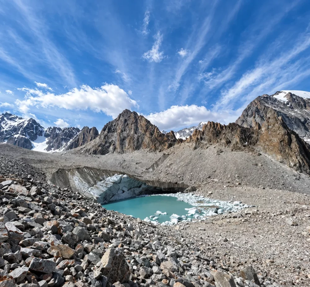
In permafrost, water freezing in the pores increases resistivity, while thawing tends to reduce it. Comparing ERT sections makes it possible to distinguish frozen and thawed zones, track the active layer and identify seasonal or multi-year changes relevant to slopes and infrastructure.
Permanent ERT monitoring
ERT measures the electrical response of the subsurface and uses inversion to produce 2D sections of resistivity distribution. Automatically repeating the surveys reveals spatial and temporal variations associated with changes in ground conditions, such as water content.
Seepage and changes in saturation produce differences in soil resistivity. A permanent ERT system tracks the response to seepage, rainfall, changes in groundwater level and other events over time, providing information for assessing the structural integrity of these structures.
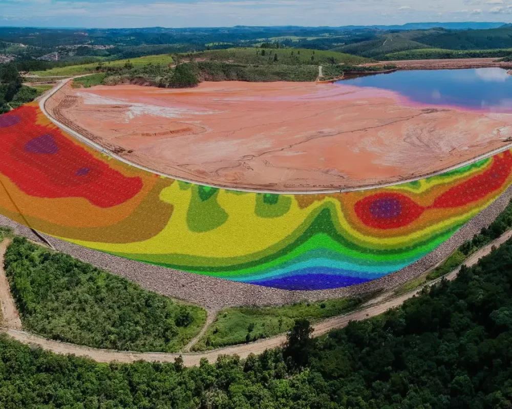
In Tailings Storage Facilities, water distribution is important for understanding seepage, drainage and saturation processes within the dam body. G.Re.T.A. compares repeated sections over time and relates them to precipitation, piezometric levels and operational activities, adding spatial coverage to point measurements.
Yes. Freezing and thawing significantly change the electrical resistivity of soil and rock, making time-lapse ERT useful for tracking the active layer and changes in permafrost. Permafrost interacts with high-mountain structures and infrastructure, and its thawing can cause structural and environmental damage.
Contact LSI LASTEM to assess the geometry, depth, measurement frequency and data integration for your permanent ERT project.


