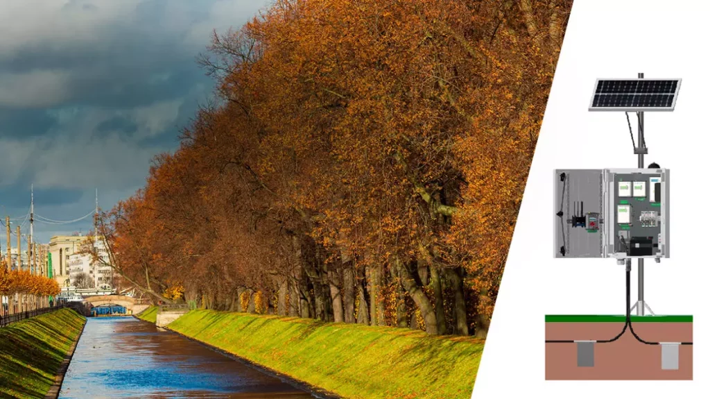
G.Re.T.A. a solution for irrigation earthen embankments monitoring

Adequate management of water resource is of critical importance due to climate change. The hydrological cycle is varying with alternated periods of drought and extreme precipitation. The damage caused to agriculture is significant and it is important to take remedial actions. Water addressed to agriculture in Italy is more than 50% with a high percentage of waste along the way, since 47.9% of this resource does not reach the destination (ISTAT report on water 2015-2018).
To cope with water shortage in some periods of the year, construction of new irrigational basins is expected in Italy (PIANO NAZIONALE NEL SETTORE IDRICO – “SEZIONE INVASI” art. 1, 155, 145/2018).
Two of the most important challenges are the reduction of water losses in these structures and the reduction of the related hydrogeological risk.
G.Re.T.A. (Geo Resistivimeter for Time lapse Analysis), the geo-resistivimeter designed by LSI Lastem with the scientific support of Politecnico di Milano, is a solution for the earthen embankments’ structural integrity monitoring.
Since soil resistivity is function of physical soil characteristics, such as granulometry, saturation and porosity, G.Re.T.A. can identify seepages, cavities formations and heterogeneities in the earthen levee or dam body, that can result in waste of water or in collapse of the structure. G.Re.T.A. is an autonomous system that allows the real-time monitoring of large subsoil sections in terms of soil resistivity variations along time, it is composed by a central box, containing the measuring and communicating unit, and two cables equipped with 48 electrodes (they can be plate, mesh or rod electrodes according to the need). Cables and electrodes can be buried underground in a shallow trench (usually 30-50 cm deep) or laid on the soil surface. Electrode distance can vary from 1 to 3 m, with a maximum profile length of about 140 m and a maximum investigation depth of about 22 m. The strong point of the device is the connection to a cloud database and software were data are sent, stored and automatically analyzed. The configuration of the system can be done remotely, and the user can set thresholds of resistivity variations and be alerted when they are passed. Thanks to core samples from the monitored site and thanks to laboratory measures of water content, it is also possible to derive a function that links inverted resistivity to soil water content values. G.Re.T.A. is an innovative monitoring system, based on the well-known Electrical Resistivity Tomography (ERT) method, that ensures the optimised operation of key earthen infrastructures for water management (dams, levees, reservoirs) and helps to get through the problems of water shortage caused by climate change and instability of earthen embankments due to lacking in structural integrity.
