The weather station net in Myanmar weather station net in Myanmar weather station net in Myanma

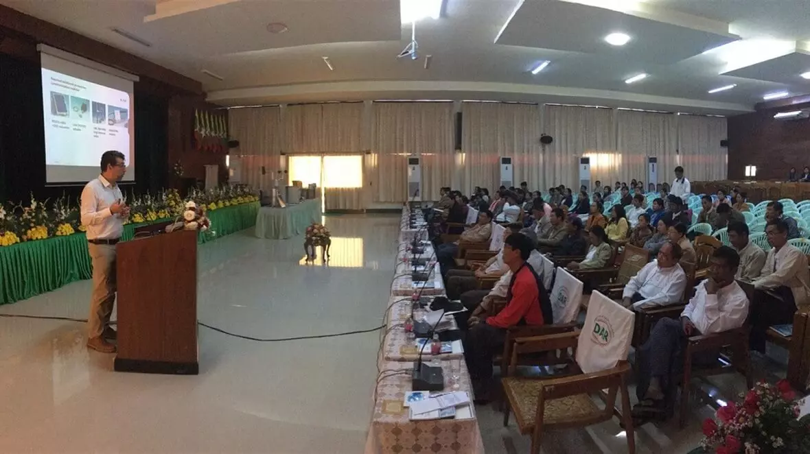
Finished the installation of 90 meteorological stations and 10 hydropluviometric stations in Myanmar for the National Meteorological Service. Thanks to UNOPS funding, the Myanmar Meteorological Service was able to start a project to implement automatic stations with real-time data transmission to the service operations room.
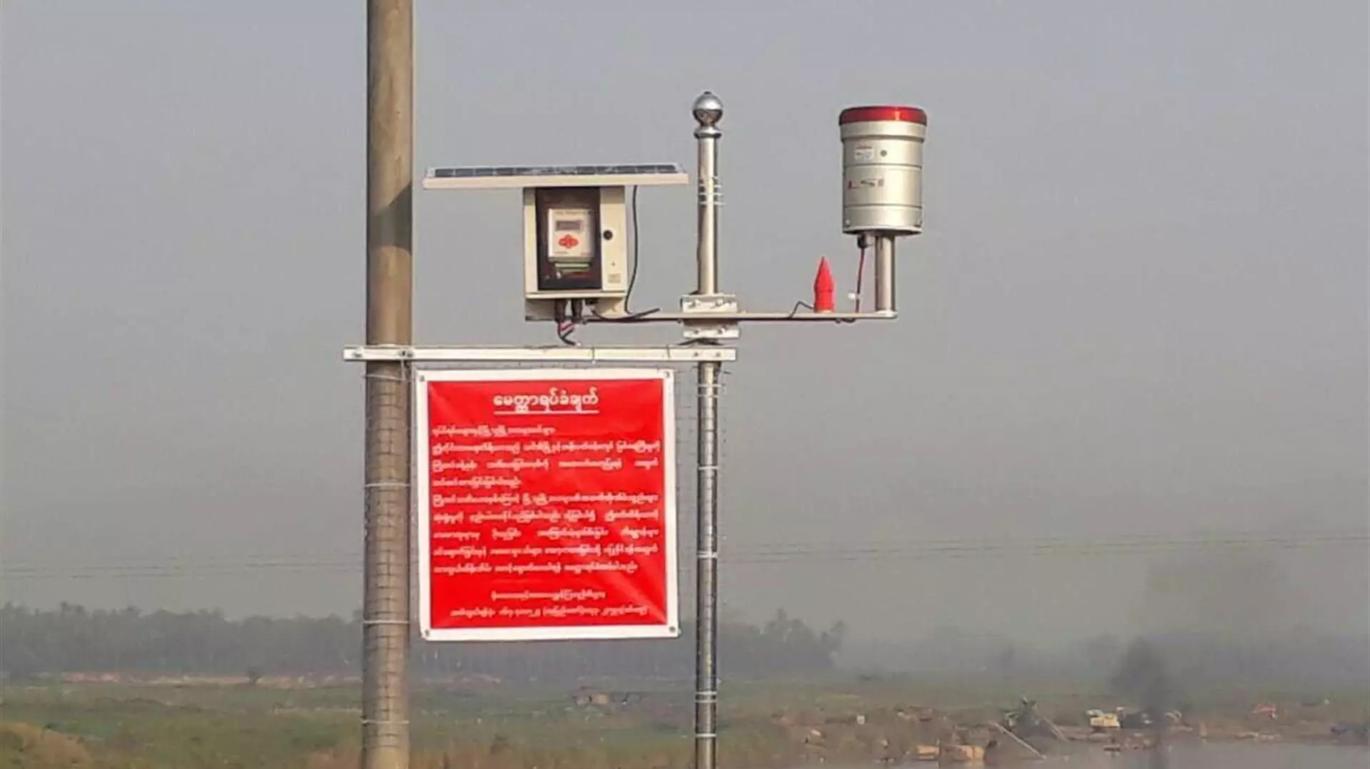
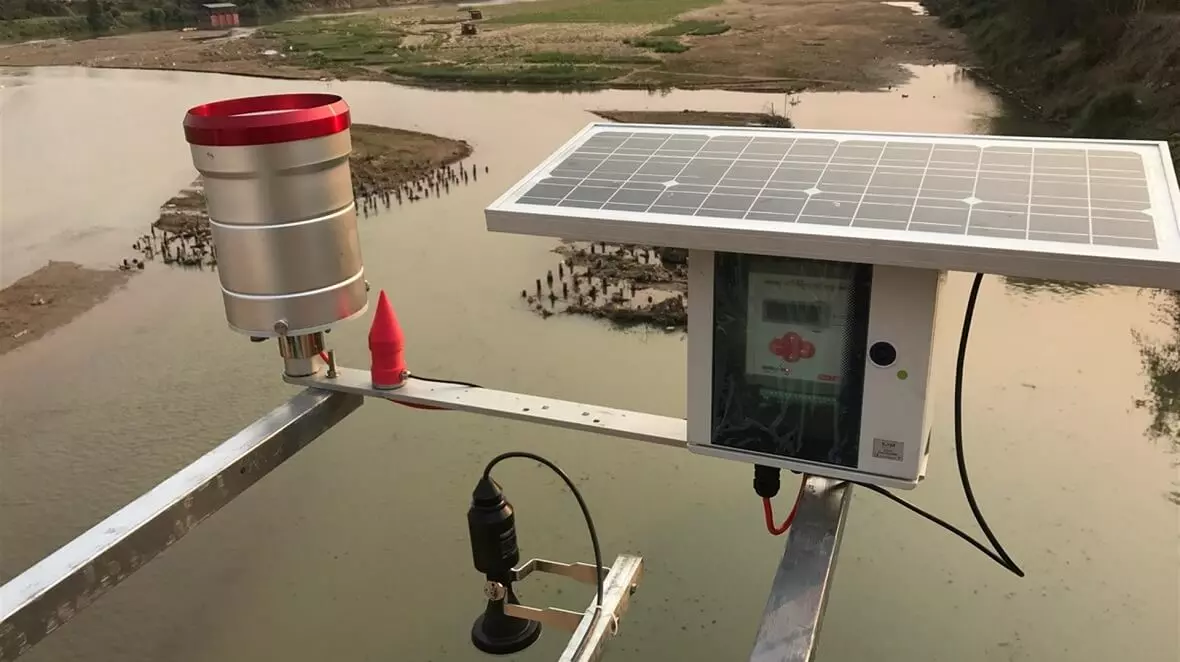
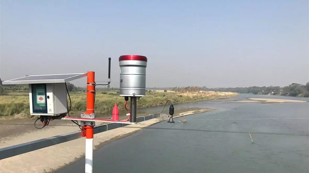
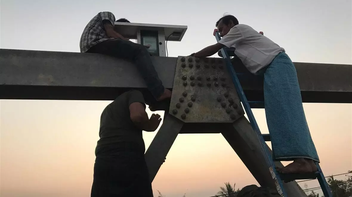
It is a network of standard KME103 automatic weather stations that detect air temperature and humidity, precipitation, direction and wind speed and pressure, powered by solar panel with 2G radiomodem transmission.
In addition, a parallel Pluvi-1 network allows the monitoring of rainfall, watercourse level, atmospheric pressure and temporal front distance, with option for air temperature and humidity. Powered all by solar panels, they are able to send data to the National Meteorological Service operational center where a software application dedicated to data management is available.
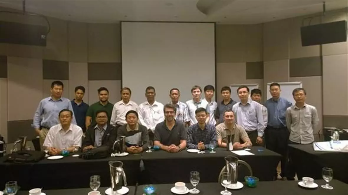
The stations, which started from Italy with a standard configuration, were installed and therefore based on the guard levels measured on the spot they could be configured from the center of Yangoon. This allowed the technicians to work on installation in a simple, fast, precise and agile way while three young engineers quickly set up stations and controlled all the data transmission functions.
Myanmar has about 55 million inhabitants on a territory slightly larger than twice that of Italy, lying between India, Bangladesh, China and Thailand. To the north is characterized by sharp and high peaks that are grafted directly into the Himalayas to the east extends the plateau of Shan, arid and uncultivated in its northern part, rich in tropical forests in the south, to the west the plateau drops to precipice while towards the south it is prolonged in reliefs that form the coastal zone of Tenasserim. The coastal area proceeding from north to south has high and jagged coasts, washed by the Bay of Bengal; the Irrawaddy delta, which owes its name to a dolphin that lives in the brackish waters of its delta, and the coastal plains face the Gulf of Martaban, in the southernmost part the coasts become tall and rocky.
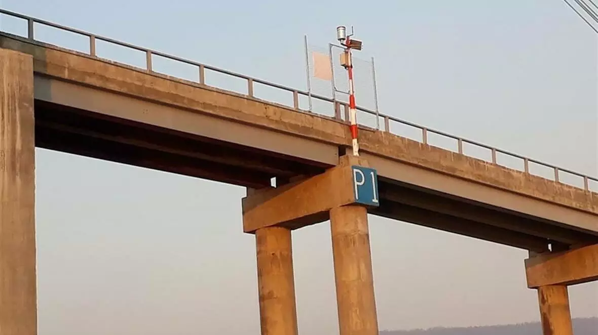
The hydrography is dominated by the Irrawaddy river, which extends for about 2,200 km, and which crosses the country from north to south; navigable for about 1450 km, flows with a wide delta, of 9 branches, in the Gulf of Martaban, where the Sittang also emerges. The great delta of the river, is an ideal territory for the cultivation of rice, so as to satisfy the entire needs of the country, while the river itself is an important way of communication. It was on this river that the first Pluvi-1 was installed, which immediately highlighted variations of over one meter due to the tides, despite the fact that the sea is a hundred kilometers away. These data are confirmed by those reported by the Pluvi-1 installed in Nyangundon which reports with a certain mismatch. During the monsoon season, which can last up to 5 months, the river level rises even 10 m above the minimum level, canceling the effect of the tides. The attention paid to the monitoring of the Irrawaddy river is due to the rapid expansion of its delta, which in each year covers about 50-60 meters.